 Hike:
Mt. Tam
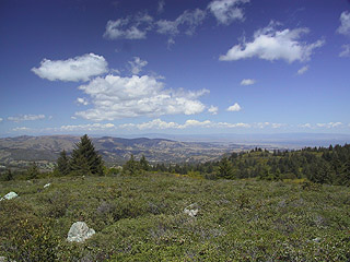
Hike:
Mt. Tam
Date: 4/21/01
With whom: Kristine
Images 1-9
[Hiking Index] [Main Index]
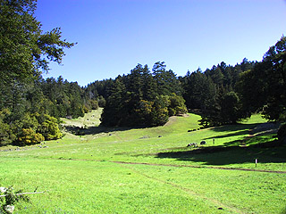
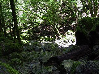
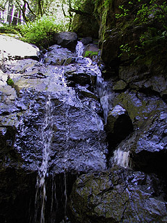
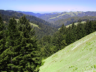
Mt. Tam: Rock Springs to Laurel Dell and Falls via Cataract trail to High Marsh return via Kent and Bernstein trails
Distance: 6.0 mile loop
Elevation: 800' gain, 2240' peak elevation