 Hike:
Mt. Tam
Hike:
Mt. Tam
Date: 3/18/01
With whom: Aaron
Images 1-9
[Hiking Index] [Main Index]
Mt. Tam: [1-9] [10-18]
[19-20]
Marin Headlands
Mt. Tam: Mtn. Home Inn to Mt. Tam via Hoo-Koo-E-Koo, Wheeler, Eldridge, shortcut trails and return via Temelpa and Hoo-Koo-E-Koo trails.
Distance: 5+ miles roundtrip
Elevation: 800' to 2571'
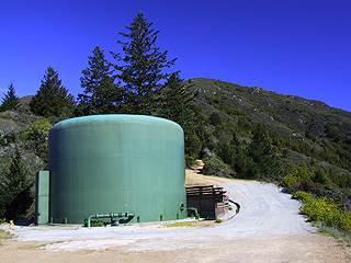
my standard reference shot of the water tank. Look how blue the sky was!
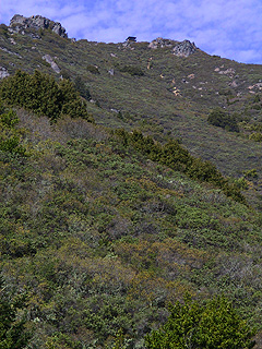
Before we started the uphill part of our hike, we had a glimpse of the ranger station at the top.
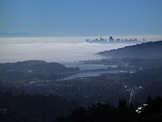
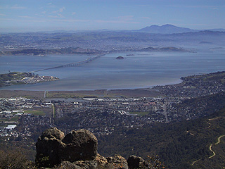
Look at the fog over the bay by San Rafael and the Richmond bridge. Mt. Diablo is in the background. Lighting threw off the white balance on my camera though.
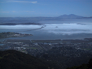
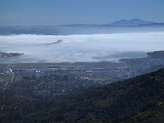
Fog beginning to clear a bit. San Quentin is visible (near the end of the bridge.
Mt. Tam: [1-9] [10-18]
[19-20]
Marin Headlands