 Hike:
Mt. Tam
Hike:
Mt. Tam
Date: 2/11/01
With whom: solo
Images 1-8
[Hiking Index] [Main Index]
[1-8] [8-17]
[18-26]
Marin Headlands: [1-9] [10-17]
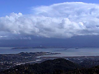
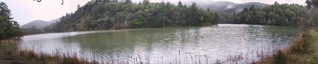
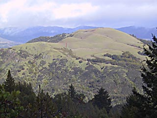
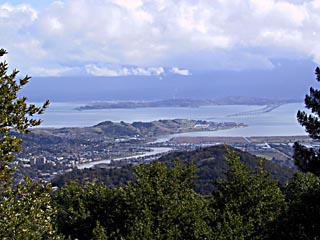
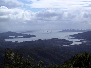
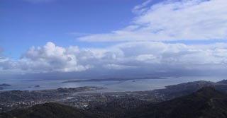
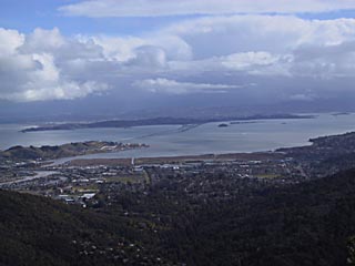
Mt. Tam: Lake Lagunitas to East Peak via Eldridge Grade, return via Middle Peak FR, Lakeview Trail, Lower Northside Trail, Lagunitas FR, Lower Berry Trail
Distance: 10.1 miles roundtrip
Elevation: 800' to 2571'
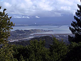
I played a bit more with settings on my camera. Shot most everything in Aperture priority mode at F8 to get the greatest depth of field. Getting an even exposure is still a big challenge when I have a normally exposed foreground and a bright sunlit background in the distance. This either results in a properly exposed foreground and a totally blown out, overexposed background or a properly exposed background and a dark underexposed foreground. I don't remember my Olympus being this finicky, but I also probably wasn't paying as much attention to what it did.
Ack. When I put this web page together, I realized how much the compression level I've been using degrades the quality of the image. These pictures really lose their impact (esp. in the clouds below.when they are all fuzzy. I'll need to use a less aggressive compression level in the future.
This hike started with heavy rain, followed by hail. Then, it cleared up and was beautifully sunny for about an hour or so.
[1-8] [8-17]
[18-26]
Marin Headlands: [1-9] [10-17]