
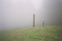
Hike: Mt. Tam
Date: 2/13/00
With whom: solo
[Previous Hike] [Hiking
Index] [Next Hike]
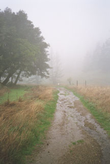
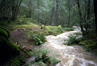
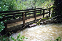
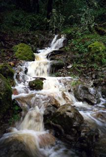
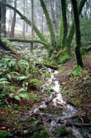
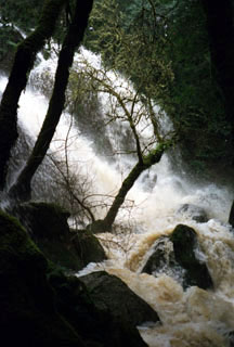
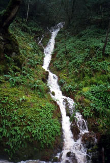
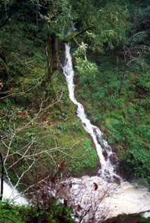
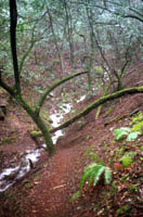
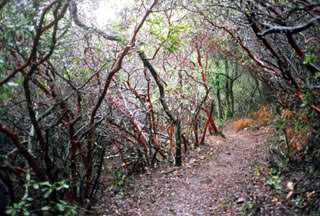
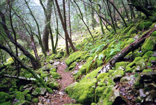
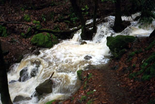
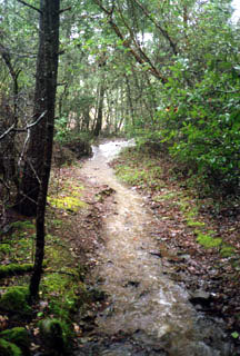
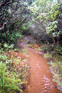
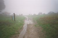
Rock Springs to Laurel Dell and Falls via Cataract trail to High Marsh return
via Kent and Benstein trails
Distance: 6 miles roundtrip
Elevation: 2000' to '1400


[Main Index] [Hiking
Index]