Hike: Carson Iceberg Wilderness
Date: 11/6/99
With whom: solo
[Previous Hike] [Hiking
Index] [Next Hike]
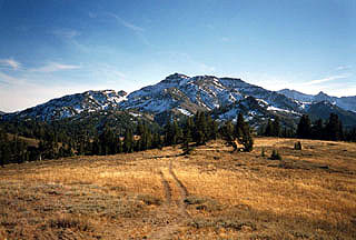
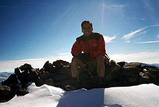
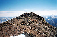
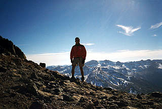
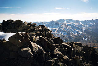
St. Mary's Pass to Sonora Peak
Distance: 4 miles roundtrip
Elevation: 9427' to 11459'
I woke up this Saturday morning at 6am and couldn't go back to sleep like so many of the previous nights
since the time change. I didn't have anything planned and all my friends were busy so I hopped on the
internet to find a hike, something new and adventurous. I finally decided on Sonora Peak, which is in the
Carson-Iceberg Wilderness just north of Yosemite. I left at about 7:15am. It was a 4-hour drive, but I didn't
mind; I like driving.
I called the Summit Ranger station after they opened up at 8:00am to make sure the drive and trail
was open and to find out the weather conditions (my backup plan was to go to Yosemite). The ranger
said that the road and trails were open with only a light dusting of snow on the northern slopes (he
had hiked to Sonora Peak just a few days earlier).
I asked him what the temperature was and he said it was 30 degrees at the station and would be 9 or 10 degrees at the summit.
I was a bit shocked, but I was somewhat prepared for cold weather having brought my Patagonia capilene underclothes, fleece,
and shell. As it turned out, he must have been talking about the overnight temperature or the temperature at
that very moment because by the time I reached the parking area, it was in the low 60s. It was a beautiful drive up and I
enjoyed carving up the uncrowded, twisty mountain roads with my Z. At first, I missed the turn into the parking
lot, which I only realized after I passed the sign that said "Sonora Pass." I turned around and
eventually found the dirt road which took me to the dirt parking area.
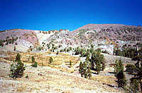
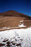
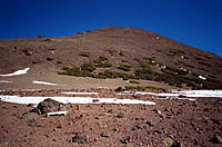
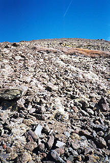
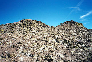
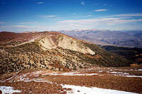
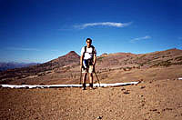
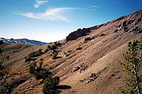
As I began hiking, the thinner air was noticeable. I'd normally be attacking the trail at a rapid
pace, but I had to take it easy and even take breaks because of the altitude. Fortunately, this was
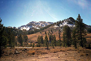
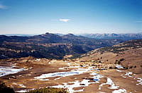
a very short hike distance-wise. Most of the grass was brown and dry, but there was a little stream
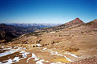
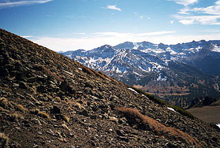
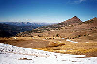
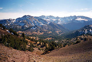
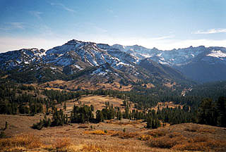
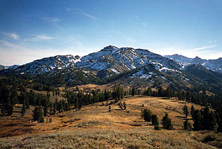
of water running down beside the trail. As I made it through the pass, there was the "dusting" of snow
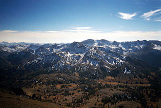
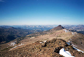
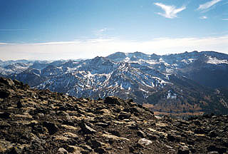
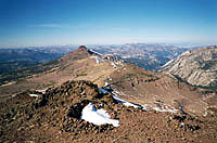
to which the ranger referred. Stanislaus Peak was very distinct (I considered hiking over to it
after completing Sonora Peak, but ended up not doing that so I could get back to the city sooner).


[Main Index] [Hiking
Index]